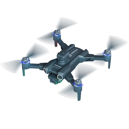
Commercial Drone Services (ROC)
Revolutionizing Industries with Cutting-Edge Technology
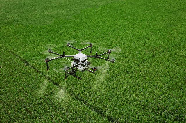
Precision Agriculture
Leverage multispectral and thermal imaging to monitor crop health, detect problems early, optimize fertilizer and water usage, and maximize yields.
- Boost Crop Yields
- Pest & Disease Management
- Field Scouting
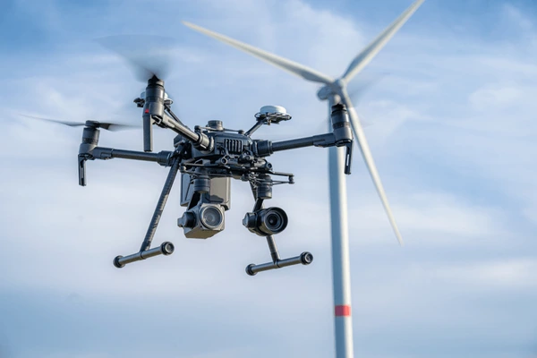
Infrastructure Monitoring
Conduct safe and detailed inspections of bridges, roads, pipelines, power lines, and other critical infrastructure.
- Enhance Safety & Efficiency
- Prior Issue Detection
- Reduce Risk & Cost

Mapping & Surveying
Create high-resolution 3D models, topographic maps, and orthomosaics of large areas with unmatched speed and precision.
- Accurate 3D Modeling
- Urban Planning & Land Management
- Enhance Environmental Conservation
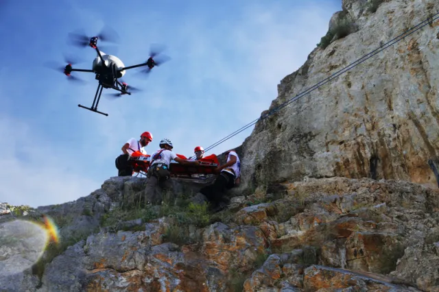
Search & Rescue
Locate missing persons in difficult terrain, assess disaster zones quickly and effectively, and deliver critical supplies to remote areas.
- Save Lives
- Improve Response Times
- Reduce Risk For Emergency Responders
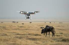
Wildlife Conservation
Monitor animal populations, track poachers, and deter illegal activities in protected areas.
- Protect Endangered Species
- Enhance Conservation Efforts
- Combat Poaching
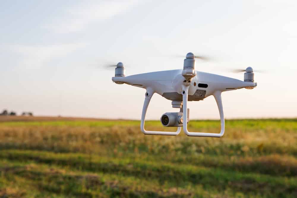
Pollution Control
Assess air and water quality, monitor deforestation, and track natural disasters using environmental sensors and cameras.
- Protect Our Planet
- Support Informed Decision Making
- Advance Nature Conservation
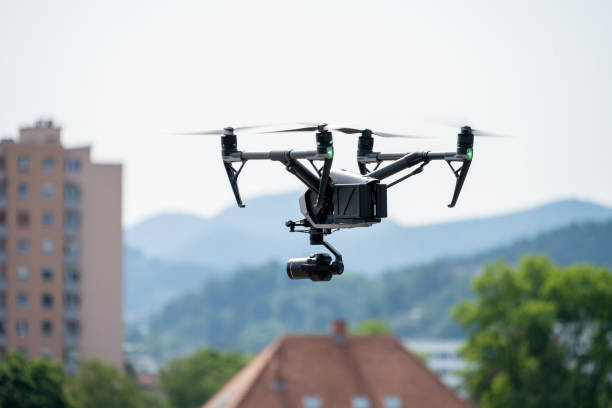
Security & Surveillance
Utilize high-definition cameras, night vision, and motion detection for comprehensive aerial surveillance.
- Enhance Security Measures
- Secure Property & Assets
- Peace of Mind for Businesses & Organizations
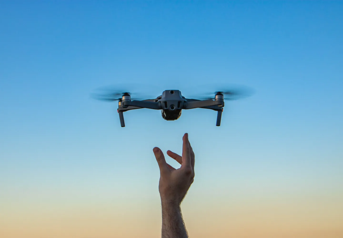
Training & Education
We offer comprehensive drone training programs and workshops tailored to aspiring pilots, businesses, government agencies, and educational institutions.
- Investing In The Future
- Growing Companies
- Boosting Careers
Data Processing & Management
We Don't Just Collect Data, We Transform It Into Actionable Insights.
Customized Data Analysis: Extract valuable insights tailored to your specific needs and objectives.
Seamless Data Integration: Integrate drone-collected data with your existing systems for efficient data management and analysis.
Informed Decision Making: Gain a clear understanding of your operations and make data-driven decisions for continuous improvement.
